Bring your raincoats and umbrellas Capetonians! Winter has come! Thursday, while wet, won’t be as hectic as Wednesday.
SWS released a warning on May 4 stating that strong winds and extremely rough seas can be expected, with small vessels being advised to seek shelter in harbours.
The cold front was expected to make its way to the Mother City around 8:00 on Wednesday, May 5. The City of Cape Town is bracing itself for impact, with relevant agencies on standby to deal with any disaster that may accompany the cold front, with the Theewaterskloof/Grabouw expected to take the brunt of the impact.
The SAWS informed residents that “homes and businesses are likely to be flooded, causing damages to buildings”.
“Closer to mountains, fast-flowing floodwater is possible, causing danger to life. Delays resulting from difficult driving conditions and some road closures are possible,” they stated.
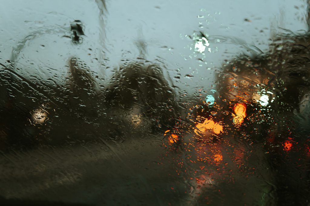
Capetonians will need to practice caution as road conditions are expected to be dangerous.
Picture: Cape Town ETC Gallery