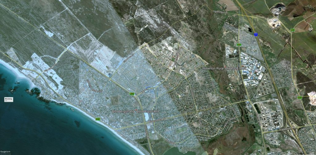
Cape Town resident Warren Rodel shared a series of Google Earth screenshots of the Blouberg area.
Rodell is a 3D animation generalist with a keen interest in cartography and structural planning – he selected the Blouberg area because it’s an area he has invested in.
“I know of all the many developments that have happened around the area,” he said. “It’s interesting how developers choose where and what to build.”
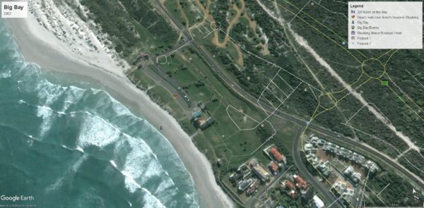
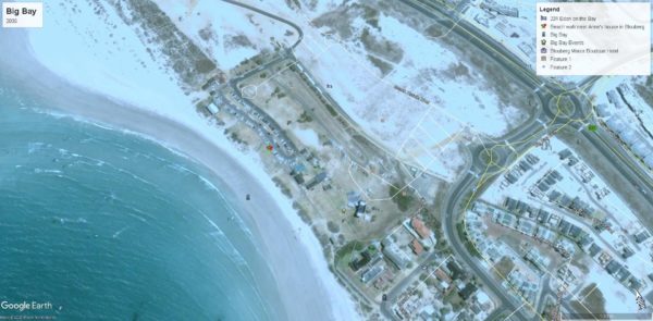
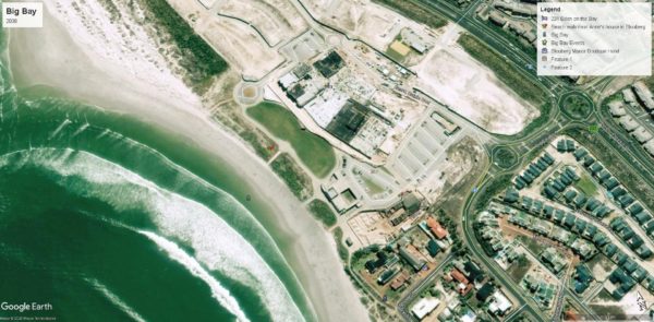
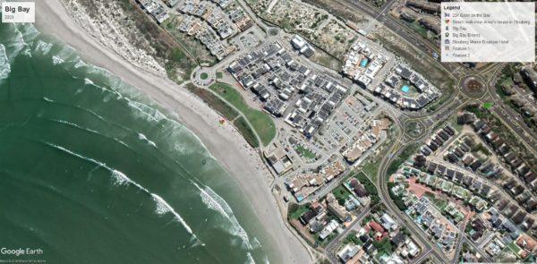
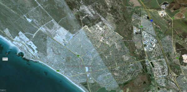
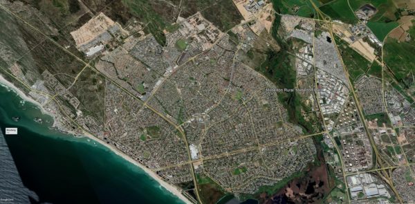
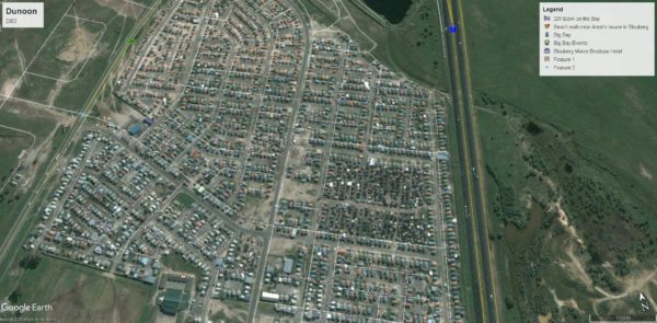
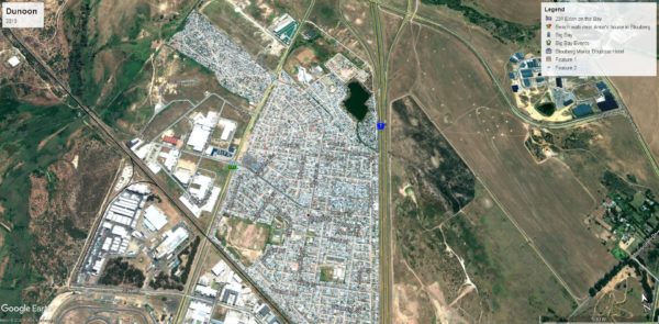
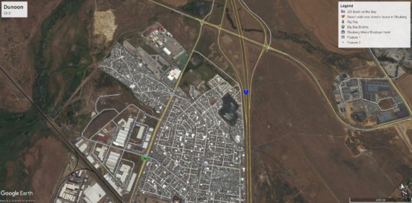
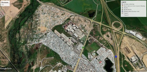
The aerial shots illustrate the development that has taken place over a 15 to 18 year period in Big Bay, Dunoon and Blouberg.
Rodell mostly focused on areas near the sea, so people could use the shoreline as a way to reference how the areas have transformed. He added that if Facebook had not compressed the images viewers would be able to pick out finer details. However, those who are interested in having a look could use Google Earth Pro.
Despite the fact that the posts were only labelled with the respective areas and date, it generated considerable interest from the public and some people have pointed out how the shoreline has changed with development and how Dunoon has grown.
Have a look at the fascinating shots below:
Big Bay
Blouberg
Dunoon
Picture/s: Google Earth/Warren Rodel

