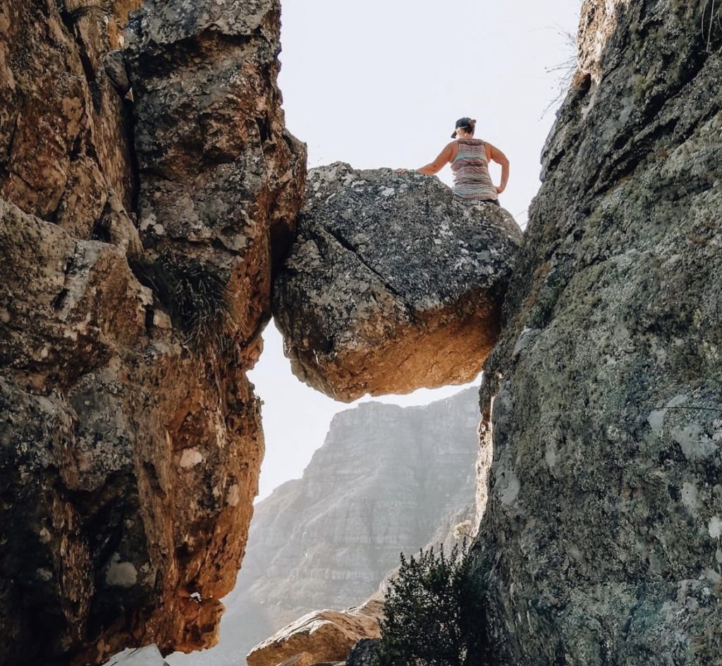
The India Venster trail is one of the most direct routes leading to the three main rock climbing crags on Table Mountain, and has found its way onto the “must-do” list of each hiker worth their salt in the Mother City.
The trail gets its name from the unique shape of a ravine located between two large buttresses – you guessed it, it is shaped like India. The “Venster” bit of its name is attributed to a natural viewpoint that is framed by rocks found on the trail. Many have complained, however, that it’s not easy to find the Venster itself. Getting to the India Venster is notoriously difficult, as even seasoned hikers have found themselves in perilous situations, such as falling to their deaths or being seriously injured or paralysed while trying to find the beautiful view.
? “@guidedbymike: Half way up now.Views of #LionsHead & #DevilsPeak from the India Venster trail on #TableMountain pic.twitter.com/YOIABJAdEz“
— CATHERINE Constantinides (@ChangeAgentSA) December 26, 2015
The trail begins approximately 50m to the right of the Cableway’s ticket office, and there is a set of stairs that leads up to the trail. These steps are often missed because the buses parked there and thus hide them. Past the stairs, the trail turns into a contour path which continues for 10 to 15 minutes.
I was nervous for today’s hike: India Venster, the most direct route up #TableMountain But it turned out to be great, with amazing people! #CapeTown #Hike for #Nepal ? 9 pic.twitter.com/6HNKnMFS6Z
— Nicholas Pearce (@NicyPea) March 21, 2019
Hikers are met by a sign at the beginning of the contour path that informs them that this is the India Venster trail. Some parts of the trail are marked by yellow foot prints, as well as blue dots. It quickly veers west and ascends a gully on the right side of one of the Venster buttresses. After approximately 20 minutes, hikers will find themselves almost directly on top of one of these buttresses. This is often where hikers take a break to enjoy the view. There is no shade here, however, so ensure to pack sunblock and a hat.
The trail includes ladders and chains to help hikers in parts where it is a bit harder to find a grip.
The trail is partly visible as it ascends and contours off to the east, just below a rock amphitheatre. The trail is well-used, and hikers are advised not to veer off it.
Despite being a tough one, this popular trail is worth the effort. It offers a perspective of the mountain not experienced by the likes of Platteklip Gorge and makes its way under the cablecar so you can wave to those who have decided to take the express route up.
Picture: KerryKopke/Twitter

