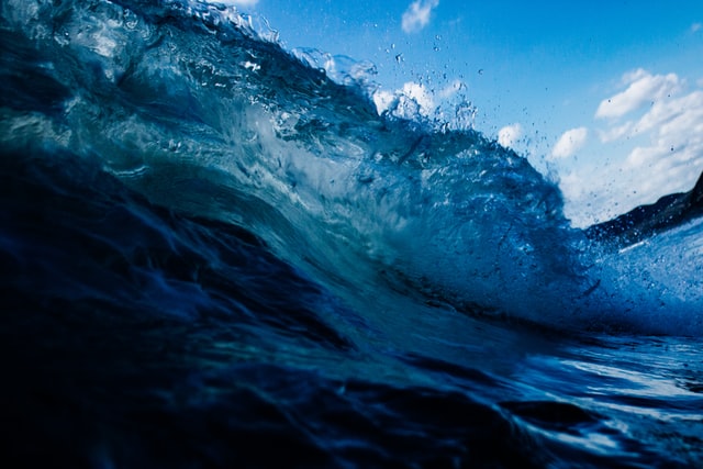
The Cape Town Weather Office has issued severe weather alerts for various parts of the Western Cape from Saturday afternoon and into Monday, September 14.
Hazard 1: High Seas
High seas with wave heights between 6-8m is expected between Cape Point and Plettenberg Bay from Sunday afternoon into early Monday morning (September 14).
Hazard 2: Veld Fire Conditions
Veld fire conditions are expected over the Central Karoo and Little Karoo on Saturday and Sunday.
Hazard 3: Damaging Winds
A gale force north westerly wind (62 to 74km/h) is expected over the Beaufort West Municipality on Saturday afternoon, but including the Central and Little Karoo and eastern parts of the Cape Winelands on Sunday.
Description: Storm surges / High Seas
Generally heavy seas or damaging waves are a result of strong winds blowing over a large area called a fetch combined with low pressure systems. Long period swells are often very dangerous to tankers as they may literally snap them in half. Dangerous waves or surges may also be caused by storm surges and tsunami’s resulting in widespread coastal damage and loss of life.
In oceanography, a sea state is the general condition of the free surface on a large body of water—with respect to wind waves and swell—at a certain location and moment. A sea state is characterized by statistics, including the wave height, period, and power spectrum. The sea state varies with time, as the wind conditions or swell conditions change.
Precautions: Storm surges / High Seas
Ships should “idle” into the swell and wind so that the bow of the ship always faces the oncoming swell. If in a small sailing vessel reduce the sail area and steer into the oncoming swell. If along the shore-line stay well back from the highest high water mark as Secure all hatches, doors, windows and ports. Secure all loose items in the interior.
Pump the bilges dry and keep pumping them dry at regular intervals. Stow away all loose gear and lash down any large items that cannot be stowed. Break out your life preservers and inform your crew that everyone will be putting them on well in advance of their necessity.
Break out emergency gear like flares and first aid kit, sea anchor, safety harnesses, etc.
Check your position and update your course as plotted on your chart. Prepare alternative routes to more protected areas. If you think you will be in for relatively long haul prepare some hot soup, coffee or stew freak waves may run up beyond the normal high water mark.
If the sea recedes exposing rock and sea bed normally not exposed immediately seek higher ground at least 50m above your current position. Do not try swimming or fishing or other marine recreation during these events. Only extremely experienced surfers will temp their fate under these conditions.
Contact the Garden Route Disaster Management Centre at 044 805 5071 to report any severe weather related incidents.
Picture: Unsplash

