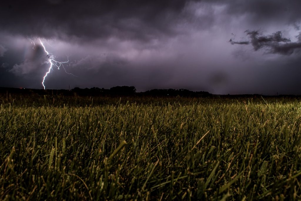
Western Cape residents have been urged to prepare themselves for cold, wet weather that could bring snow to the province after a cold front made landfall on Monday night.
Weather forecasts by the South African Weather Service (SAWS) shows that the cold front is set to bring rain over the south-western parts of the Western Cape and is expected to extend along the south coast until Wednesday, possibly clearing in the afternoon.
According to News24, Western Cape MEC for Local Government, Environmental Affairs and Development Planning, Anton Bredell, said that it’s expected for the cold front to be followed by a second bout, which could sweep in by Friday morning.
“The cold, wet weather is coming, and we are urging people to prepare. The bulk of the winter is still lying ahead of us, and we need to be prepared to deal with the conditions as best we can,” he said.
Light snowfall can also be expected over the mountainous regions of the south-western parts of the province while wind is expected to reach strong conditions into Tuesday, as SAWS reports.
A level-2 warning has been issued relating to these powerful winds across the Western Cape, including on the West Coast and in Cape Town, News24 adds.
“Our disaster entities and municipal emergency responders are on hand in the event of any emergency. The best number to call in an emergency is the provincial helpline 112,” Bredell adds.
Meanwhile, George Municipality spokesperson Chantèl Edwards-Klose, said that strong winds kept municipal departments occupied on Monday after battling veld fires in Victoria Bay, Hoekwil, Thembalethu and the York Street Cemetery, which have all been attended to since, IOL reports.
Additionally, strong winds caused several high voltage power outages that have affected Herold’s Bay, Oubaai, the Airport Line and sections of Pacaltsdorp.
READ ALSO:
WATCH: The storm that took 2017 by storm – round two in 2021?
Picture: Unsplash

